The Maps and Text of the Boke of Idrography Presented by Jean Rotz to Henry VIII. ROXBURGHE CLUB
DiscussieMaps and Atlases
Sluit je aan bij LibraryThing om te posten.
1wcarter
The Maps and Text of the Boke of Idrography Presented by Jean Rotz to Henry VIII. ROXBURGHE CLUB
The Roxburghe Club was founded in 1812 and is the oldest and most exclusive society of bibliophiles in the world. Its membership is limited to 40, chosen from among those with distinguished libraries or collections, or with a scholarly interest in books. Many of the members are the owners of the libraries you drool over when seen in photos.
Each member is expected, upon election to the club, to produce a book at his or her own expense for presentation to the other members. The subject of such books lies entirely at the discretion of the individual member, providing that it lies within the normal scope of the Club’s publications. These books are usually lavishly bound and superbly printed facsimiles of a book in the member’s collection, or borrowed from a library or institution, or new editions of a classic work. Each presentation copy has the name of the member to whom it is presented in red on the list of members that usually appears at the beginning of each book. Since its foundation, almost 300 volumes have been published on a wide range of subjects and scholarship. The club itself from time to time, has also published books for presentation to the members.
Only 42 copies of each of these books was ever printed (40 for members, one for the club archive and one extra for the commissioning member). After 159 years of tradition, in 1981, it was decided to print extra copies of the books for sale to members of the public. The Rotz Atlas was the first of these books, and 200 extra copies were produced in a binding that was less lavish than the member’s copies, but with identical contents.
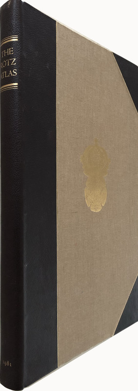
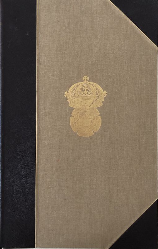
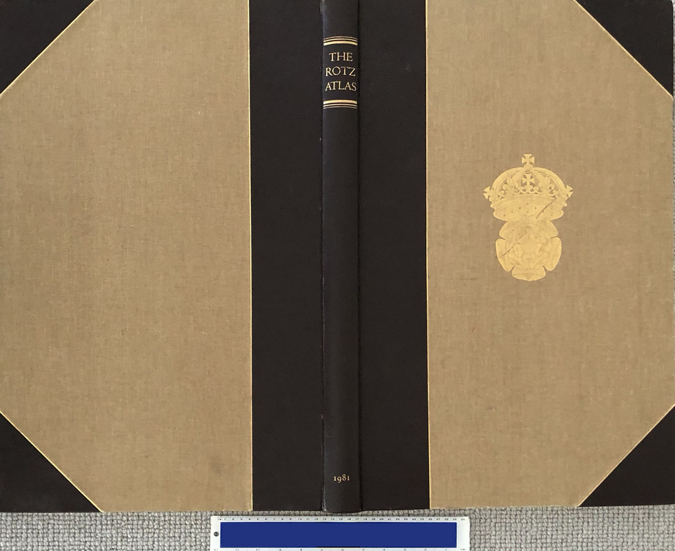
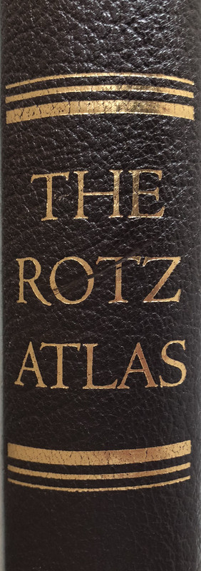
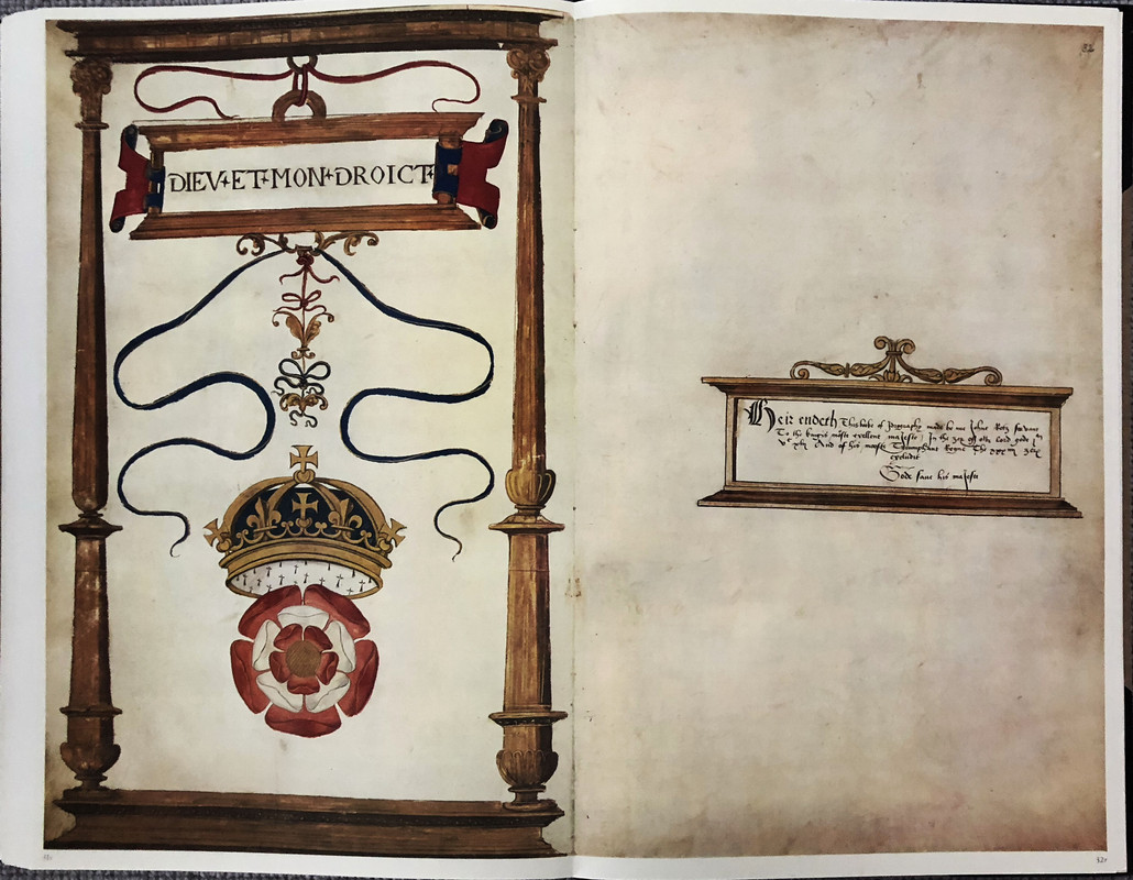
Because this was the first such book, the binding is still magnificent in half morocco with light brown cloth covers gilt embossed with the crest of Henry VIII. Most of the subsequent books released to the public were less lavish in their binding being in full cloth or quarter leather.
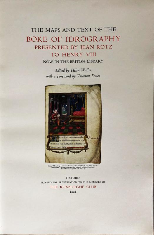
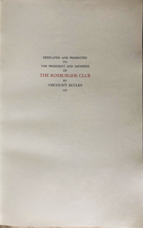
The Maps and Text of the Boke of Idrography Presented by Jean Rotz to Henry VIII (British Library Royal MS20 E.ix) was published for presentation to the members of the Roxburghe Club by Viscount Eccles, who also wrote a foreword. 200 copies were offered for general sale outside the club's very exclusive membership. These copies are not individually numbered.
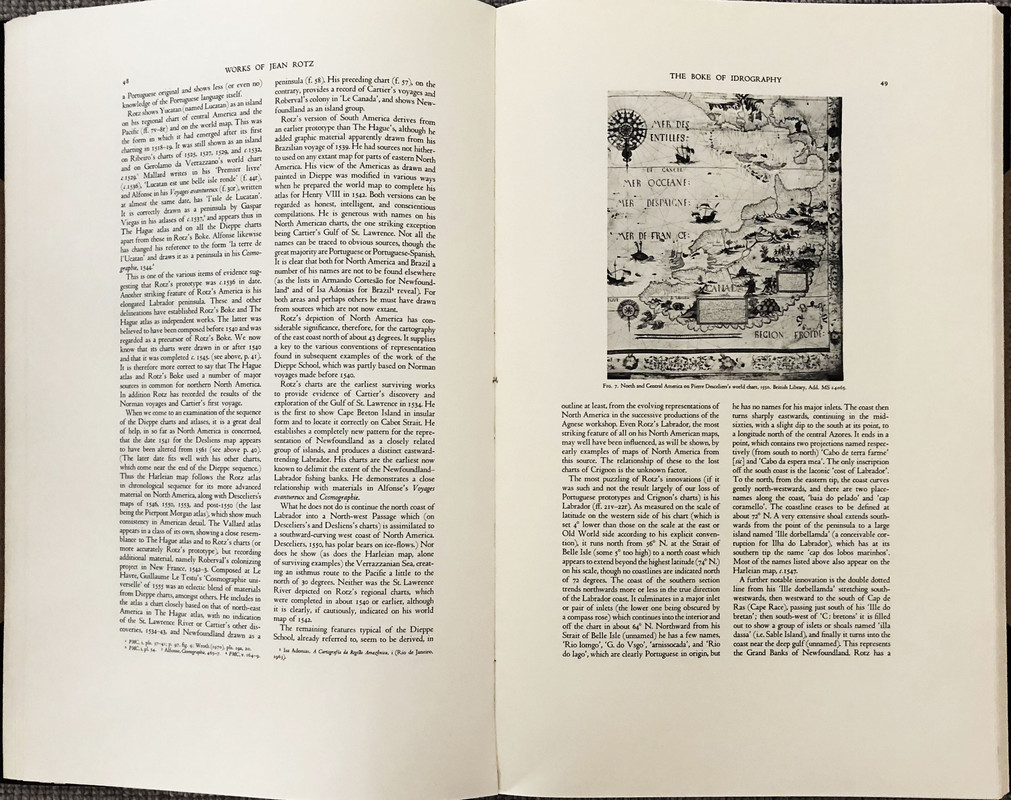
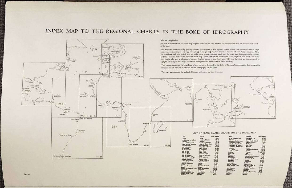
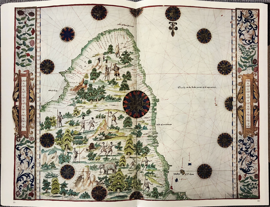
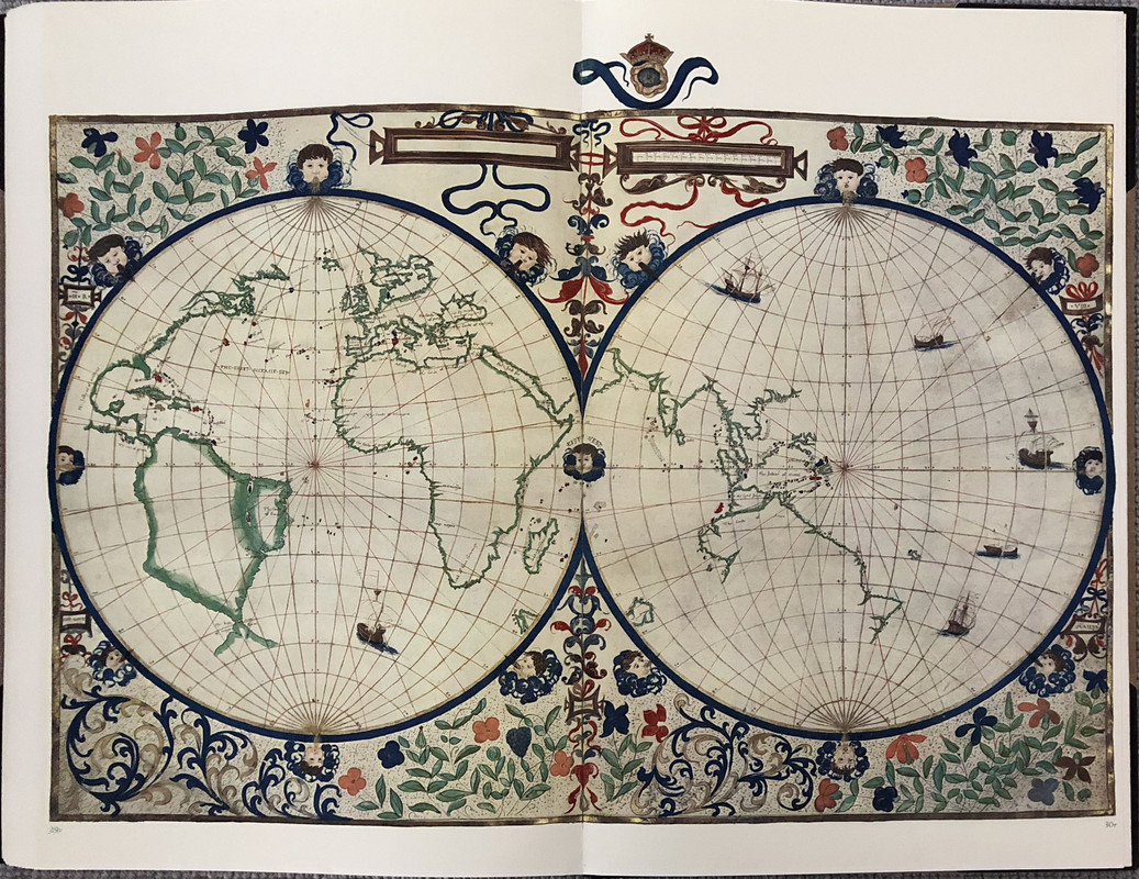
Also known as The Rotz Atlas, the book was originally presented to Henry VIII around 1542, and it shows the approximate placing of part of Australia more than 70 years before any known European had seen any part of its coast. Torres in 1606 was the first European to see any part of Australia, and that was the tip of Cape York (modern Queensland). The presence of the rough outline of Australia, and what could be considered New Zealand attached to the Australian East coast, is an enigma.
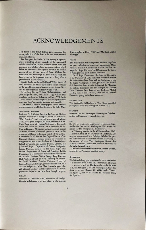
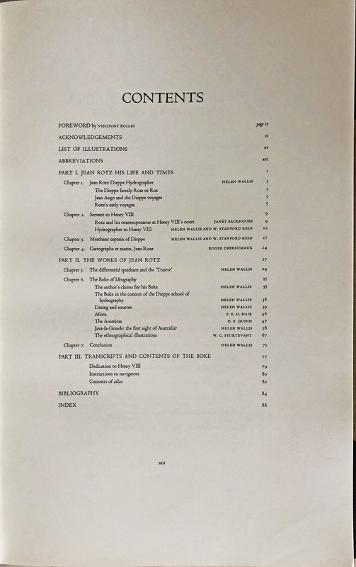
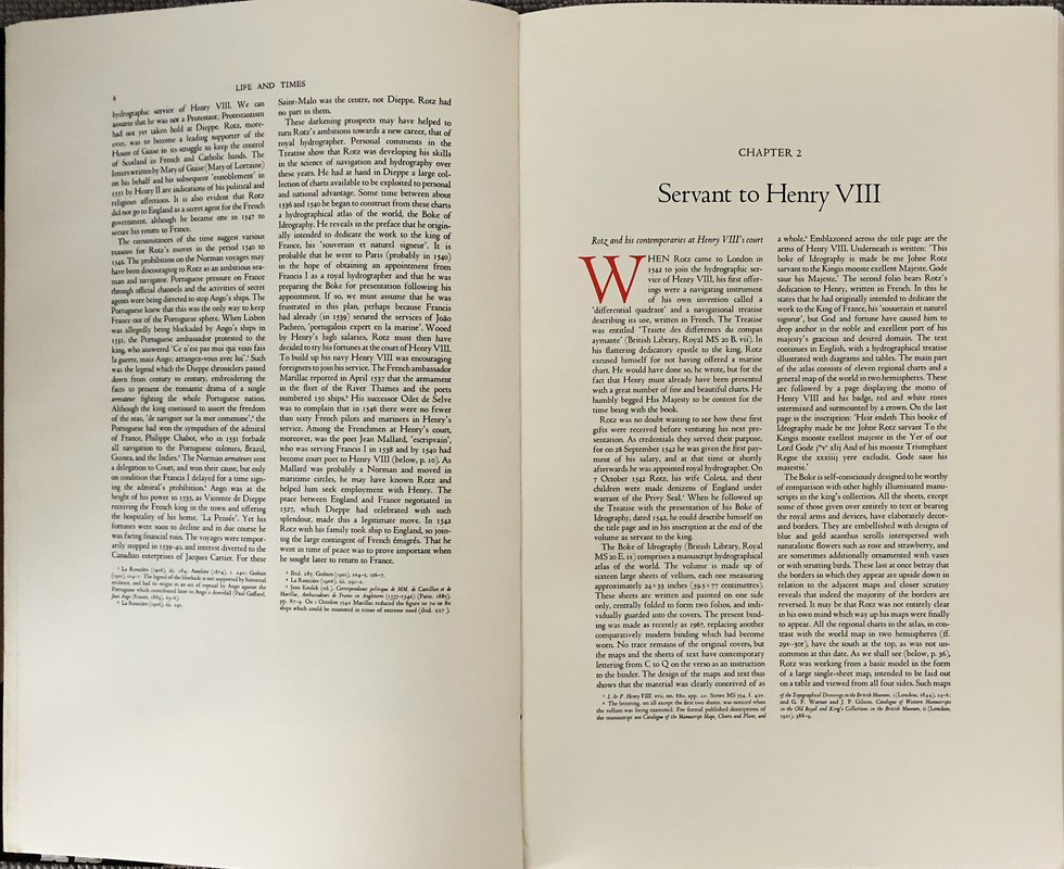
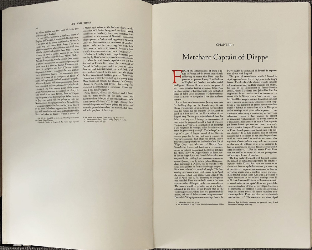
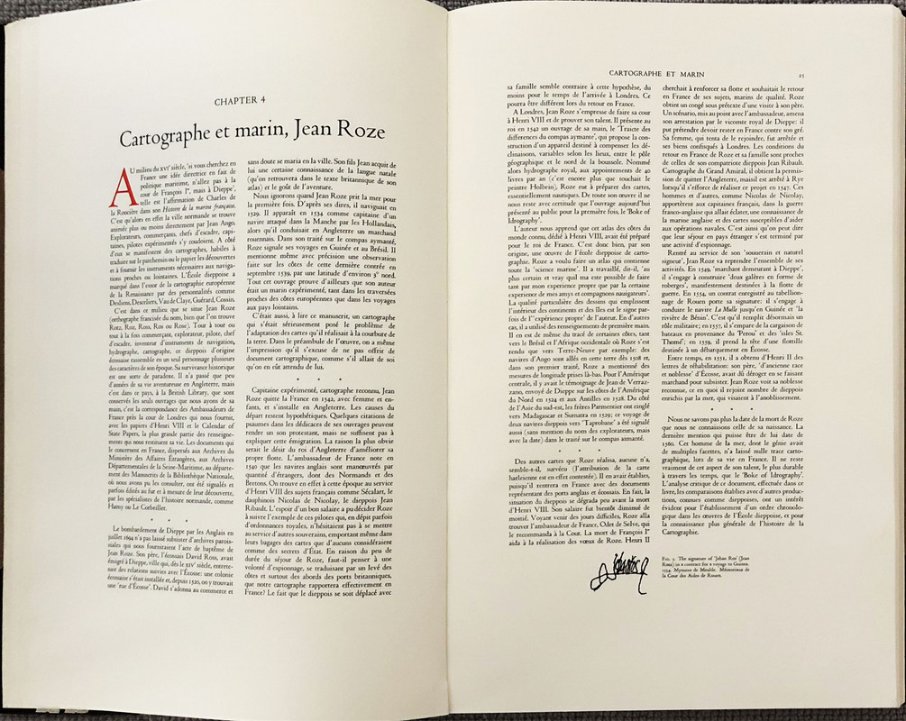
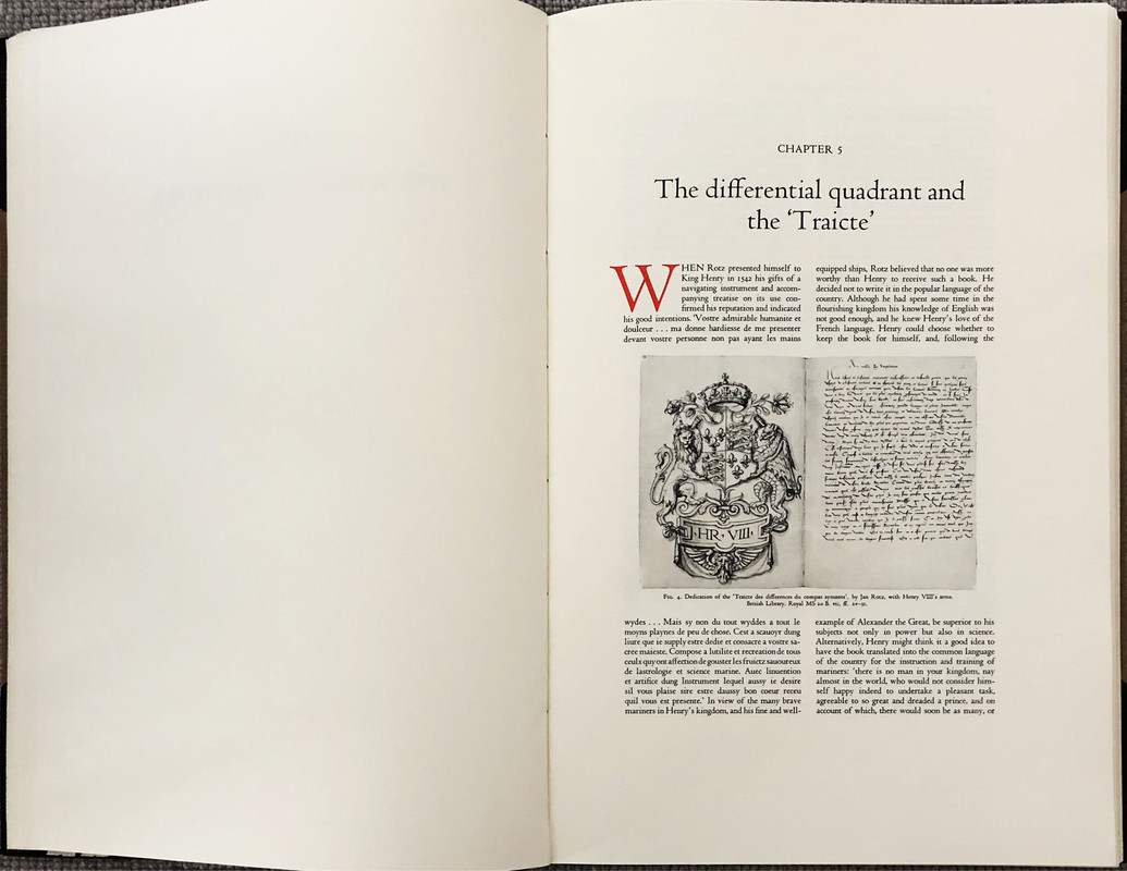
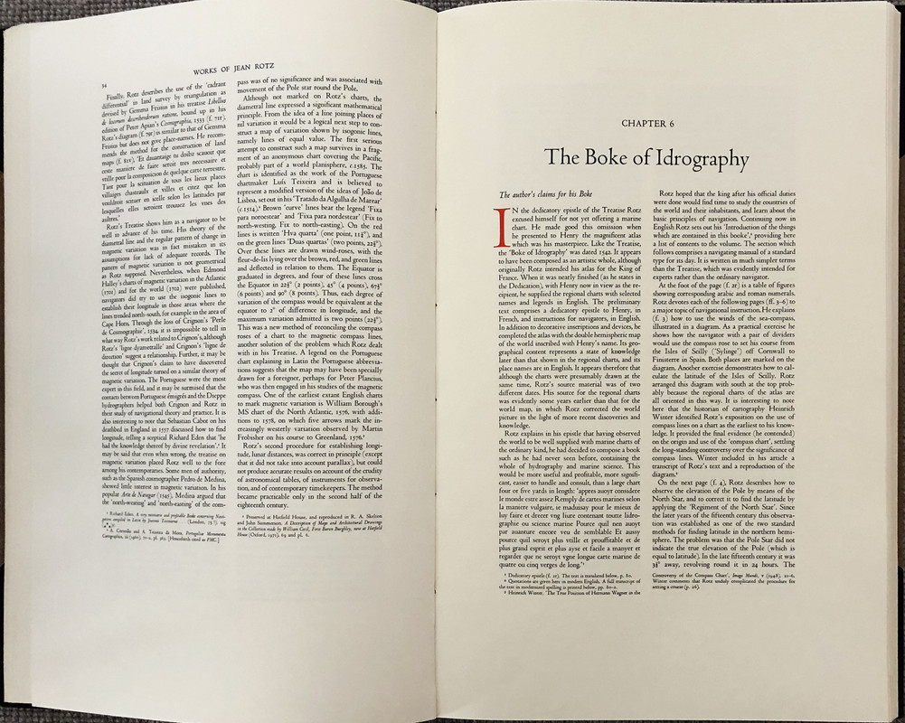
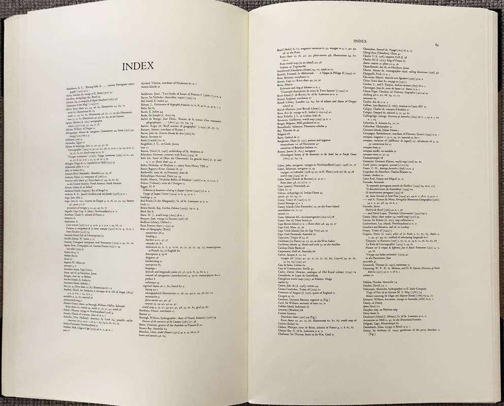
The Roxburghe Club edition reproduces Jean Rotz' manuscript in facsimile with 32 magnificent map plates, but also includes 96 pages of introductory essays by Helen Wallis, Janet Backhouse, W. Stanford Reid, Roger Desreumaux, P. E. H. Hair , D. B. Quinn and W. C. Sturtevant which detail the history and background of the original atlas and its author. The text and maps are printed on the same very heavy pale cream paper. The text point size (16 point by my estimation) is over large to match the book format.
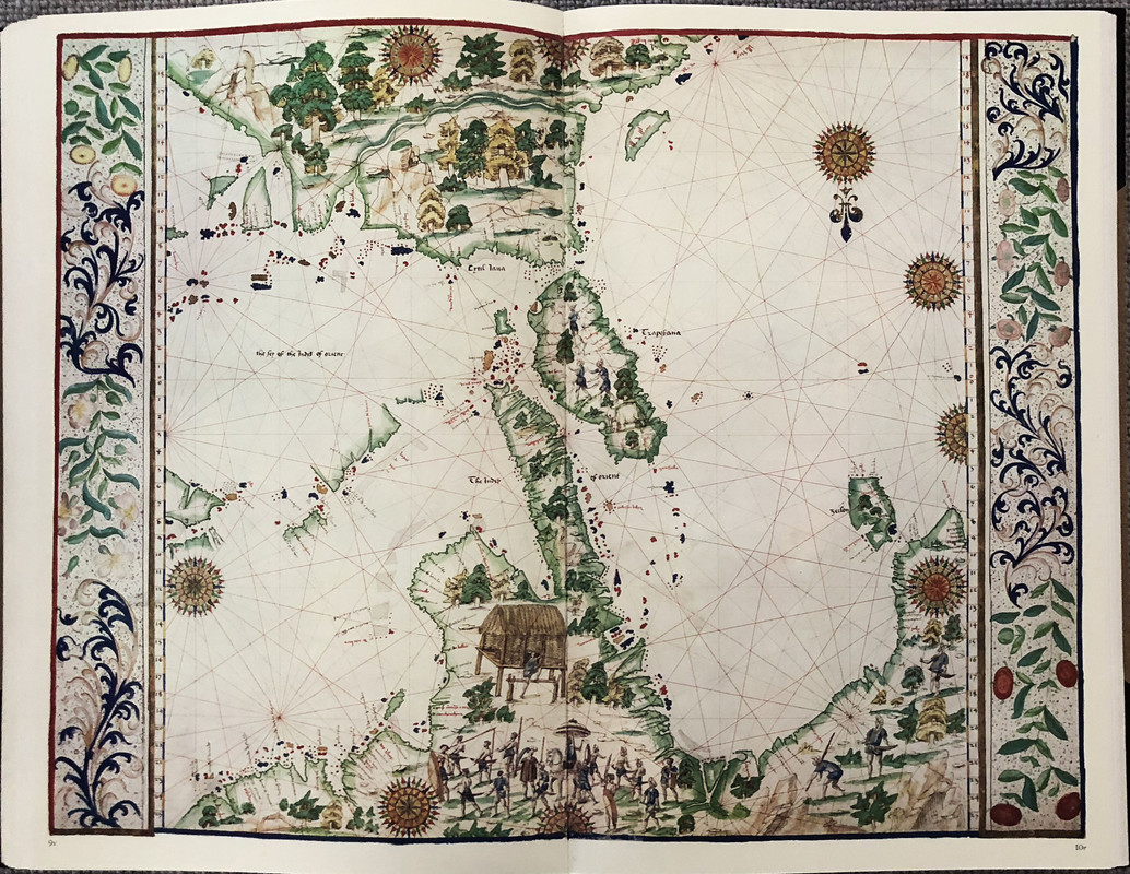
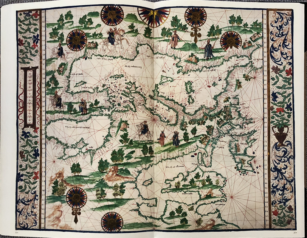
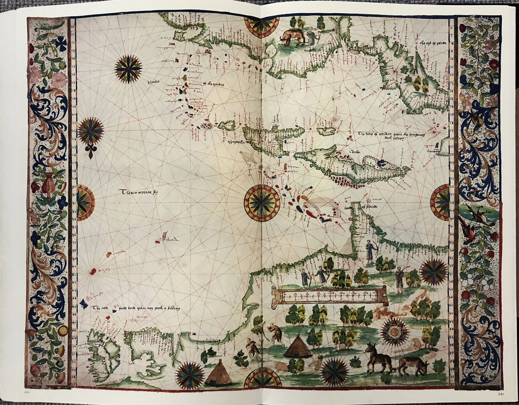
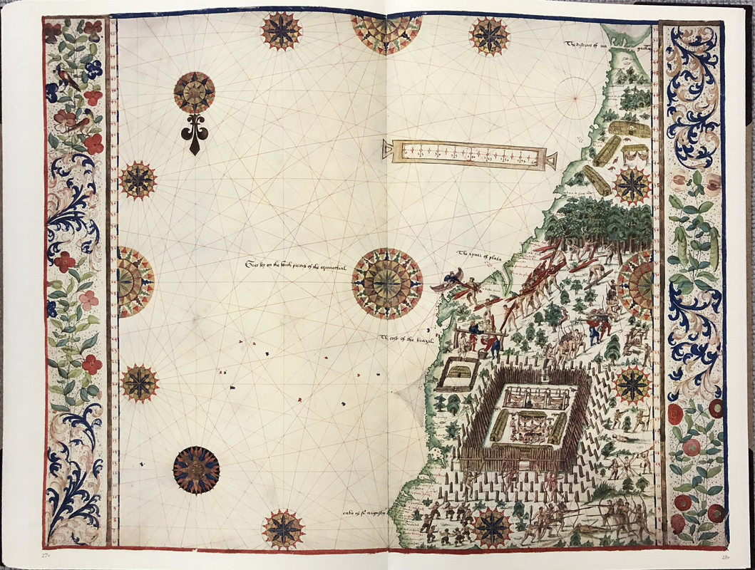
At 63 x 40 cm. the book is absolutely huge (1cm. taller than The Queen Mary Atlas produced by the Folio Society). The top page edges are gilt, and the facsimile maps are extraordinarily vivid in bright colours. Confusingly for modern readers, most of the maps are oriented with South at the top of the map.
In the pictures below, when only one page appears, the page opposite is blank.
With 30cm/12in. ruler to show scale


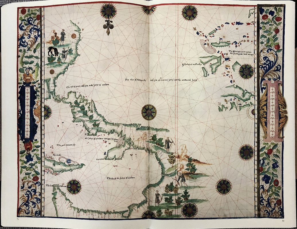

The map showing “Australia” 70 years before it was “discovered”.
The Roxburghe Club was founded in 1812 and is the oldest and most exclusive society of bibliophiles in the world. Its membership is limited to 40, chosen from among those with distinguished libraries or collections, or with a scholarly interest in books. Many of the members are the owners of the libraries you drool over when seen in photos.
Each member is expected, upon election to the club, to produce a book at his or her own expense for presentation to the other members. The subject of such books lies entirely at the discretion of the individual member, providing that it lies within the normal scope of the Club’s publications. These books are usually lavishly bound and superbly printed facsimiles of a book in the member’s collection, or borrowed from a library or institution, or new editions of a classic work. Each presentation copy has the name of the member to whom it is presented in red on the list of members that usually appears at the beginning of each book. Since its foundation, almost 300 volumes have been published on a wide range of subjects and scholarship. The club itself from time to time, has also published books for presentation to the members.
Only 42 copies of each of these books was ever printed (40 for members, one for the club archive and one extra for the commissioning member). After 159 years of tradition, in 1981, it was decided to print extra copies of the books for sale to members of the public. The Rotz Atlas was the first of these books, and 200 extra copies were produced in a binding that was less lavish than the member’s copies, but with identical contents.
Because this was the first such book, the binding is still magnificent in half morocco with light brown cloth covers gilt embossed with the crest of Henry VIII. Most of the subsequent books released to the public were less lavish in their binding being in full cloth or quarter leather.
The Maps and Text of the Boke of Idrography Presented by Jean Rotz to Henry VIII (British Library Royal MS20 E.ix) was published for presentation to the members of the Roxburghe Club by Viscount Eccles, who also wrote a foreword. 200 copies were offered for general sale outside the club's very exclusive membership. These copies are not individually numbered.
Also known as The Rotz Atlas, the book was originally presented to Henry VIII around 1542, and it shows the approximate placing of part of Australia more than 70 years before any known European had seen any part of its coast. Torres in 1606 was the first European to see any part of Australia, and that was the tip of Cape York (modern Queensland). The presence of the rough outline of Australia, and what could be considered New Zealand attached to the Australian East coast, is an enigma.
The Roxburghe Club edition reproduces Jean Rotz' manuscript in facsimile with 32 magnificent map plates, but also includes 96 pages of introductory essays by Helen Wallis, Janet Backhouse, W. Stanford Reid, Roger Desreumaux, P. E. H. Hair , D. B. Quinn and W. C. Sturtevant which detail the history and background of the original atlas and its author. The text and maps are printed on the same very heavy pale cream paper. The text point size (16 point by my estimation) is over large to match the book format.
At 63 x 40 cm. the book is absolutely huge (1cm. taller than The Queen Mary Atlas produced by the Folio Society). The top page edges are gilt, and the facsimile maps are extraordinarily vivid in bright colours. Confusingly for modern readers, most of the maps are oriented with South at the top of the map.
In the pictures below, when only one page appears, the page opposite is blank.


With 30cm/12in. ruler to show scale


The map showing “Australia” 70 years before it was “discovered”.


